HOME | DD
 Igualaine — Color Contrast Lesser Antilles Rail
#map #caribbean #imaginarymaps #lesser_antilles
Published: 2024-03-26 12:51:09 +0000 UTC; Views: 187; Favourites: 3; Downloads: 0
Redirect to original
Description
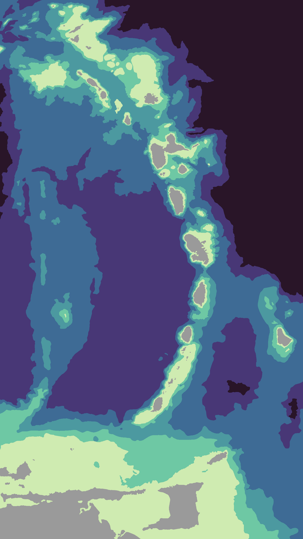
The tunneling project between the Lesser Antilles island chain is a hypothetical infrastructure investment. This image depicts bathymetry color contrast at 100 meters, 500m, 1000m, 2000m, and 3000m.This route does not consider the seabed geologic composition. The pyroclastic deposition from the island chains' volcanoes presents challenges to tunnel boring, including unknown water permeability and irregular rock hardness.


