HOME | DD
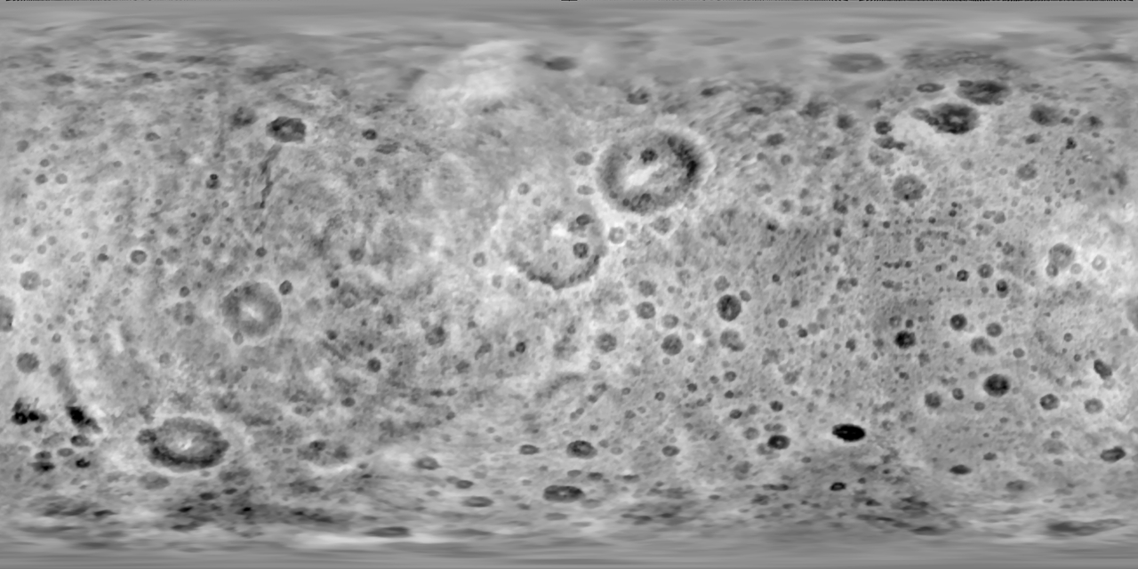
 zELARiO — Tethys Heightmap (4K)
by
zELARiO — Tethys Heightmap (4K)
by

#heightmap #moon #saturn #space #tethys #texture
Published: 2022-07-08 02:30:48 +0000 UTC; Views: 1557; Favourites: 2; Downloads: 60
Redirect to original
Description
This map is in the wrong orientation (should be flipped 180 degrees). This can easily be fixed in something like GIMP.Tethys has the most unfortunate mapping situation among all of the major moons of Saturn. Paul Schenk managed to compile topographical maps of all of the major moons of Saturn in 2010, but none of them in full resolution were ever made public save Iapetus. Eventually the full-size map of Enceladus was found online, but nothing could be found of the remaining four major moons (Rhea, Dione, Tethys, Mimas). In the case of Mimas, a model exists, and the level of the global topography is such that Mimas is better rendered using a model than any sort of bump/normal mapping technique. This leaves Rhea, Dione, and Tethys.
Out of these three moons, Tethys had the worst situation. There was no albedo map (like with Rhea), or good quality heightmap (like Iapetus). Since Tethys is heavily cratered, and the official map had many shadows, it meant that it was almost impossible to render Tethys well. A shape model by Robert Gaskell existed and was public for some time, and was the closest thing to a heightmap (excluding fictional versions, of course).
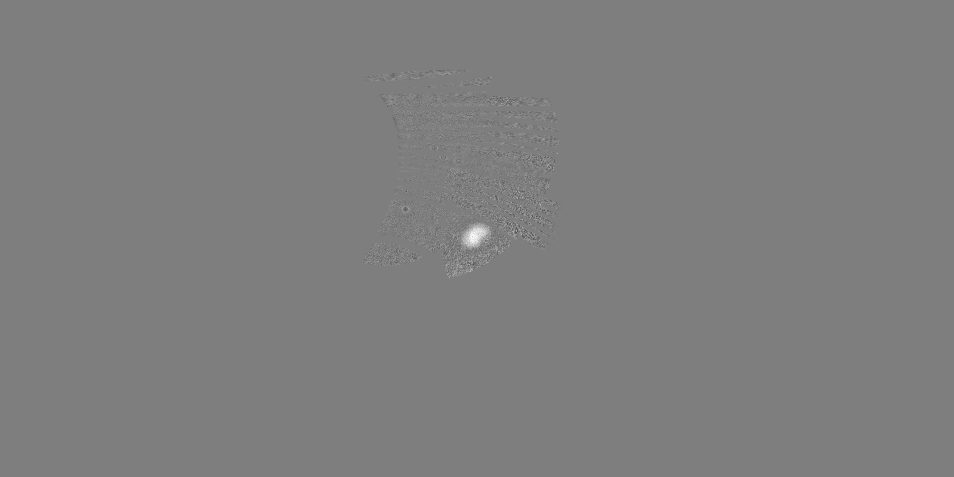
After lots and lots of digging, I found several incomplete maps which can be merged into one. However, the main issues for all of these maps is that there is no mapping standard for Tethys. Differences in planetographic and planetocentric projection, as well as distortion caused by Tethys's ellipsoidal shape, means that almost every single map, diffuse or height, available on the internet, are misaligned with each other. I'm not sure what to do at this point, so I went with the CICLOPS map's projection. Unfortunately, this meant that a lot of manual warping was required to get this map to align, and as a result there may be many small misalignments.
Kexitt managed to convert the Gaskell shape model to a heightmap, and several months after, I did the same. Kexitt managed to convert it with an ellipsoidal model, and I used a spherical model (less accurate), but my map ended up being easier to manually warp, so I went with my version of the map. Unfortunately, this means there might be some major misalignments at the poles - I haven't really tested this map in Celestia or anything.
Also available is a small, labeled version of Schenk's official topographical map on his blog. Everything I had was higher resolution than this, so I did not incorporate this map into the final version, but I used it as reference.
The remaining two pieces are Trappist1e's projection of PIA13701(photojournal.jpl.nasa.gov/cata… ) and a similar piece from Schenk et al. 2020 (www.hou.usra.edu/meetings/lpsc… ). These two pieces round out all of my currently available pieces of Tethyan topographic data.
I wish I could get the original topographic map that all of these are derived from (with the exception of the Gaskell model), but unfortunately Paul Schenk is hard to contact, and the original paper seems to be unavailable on the internet.