HOME | DD
 Ashtagon — Oronce Fine 1531 K7a base map
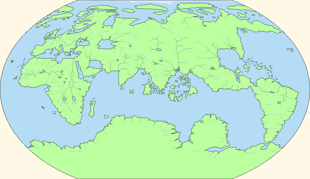
#k7a #map #oronce_fine
Published: 2018-03-08 17:32:39 +0000 UTC; Views: 5819; Favourites: 83; Downloads: 73
Redirect to original
Description
For alternate history purposes, a blank map based on Oronce Finé's 1531 map. The map is centred on a point 160° east of the Corvo Island meridian (i.e., the western map edge is 20° west of the Corvo Island meridian).Related content


Comments: 11

👍: 0 ⏩: 1

Sure, run with it. Make original maps with this. All I ask is that you come back here and point me at your work so I can marvel at what has been unleashed.
👍: 0 ⏩: 2
👍: 0 ⏩: 0
👍: 0 ⏩: 0
Go for it! I'm working on the 1492 Erdapfel globe next, but I'd love to see countries edited in according to the place names that Oronce put in his original map.
👍: 0 ⏩: 1

You don't have access to a high-definition source map do you?
👍: 0 ⏩: 1
The best version of the original map is here: www.loc.gov/item/2005630228/
My re-projection of that map is here:
👍: 0 ⏩: 0


I love your way of representing rivers.
However that Scandinavia is going to give me a stroke if I look at it too long.
👍: 0 ⏩: 1
If it helps, only the southern third of the overall peninsula is actually OTL Scandinavia. Check out the original source (www.loc.gov/item/2005630228/ ), and note where "Lapia" (Lappland) is.
👍: 0 ⏩: 0