HOME | DD
 Concavenator — Ea, part 5: Life

#ea #geography #map #planet #speculativeevolution
Published: 2018-10-02 21:49:25 +0000 UTC; Views: 3199; Favourites: 38; Downloads: 0
Redirect to original
Description
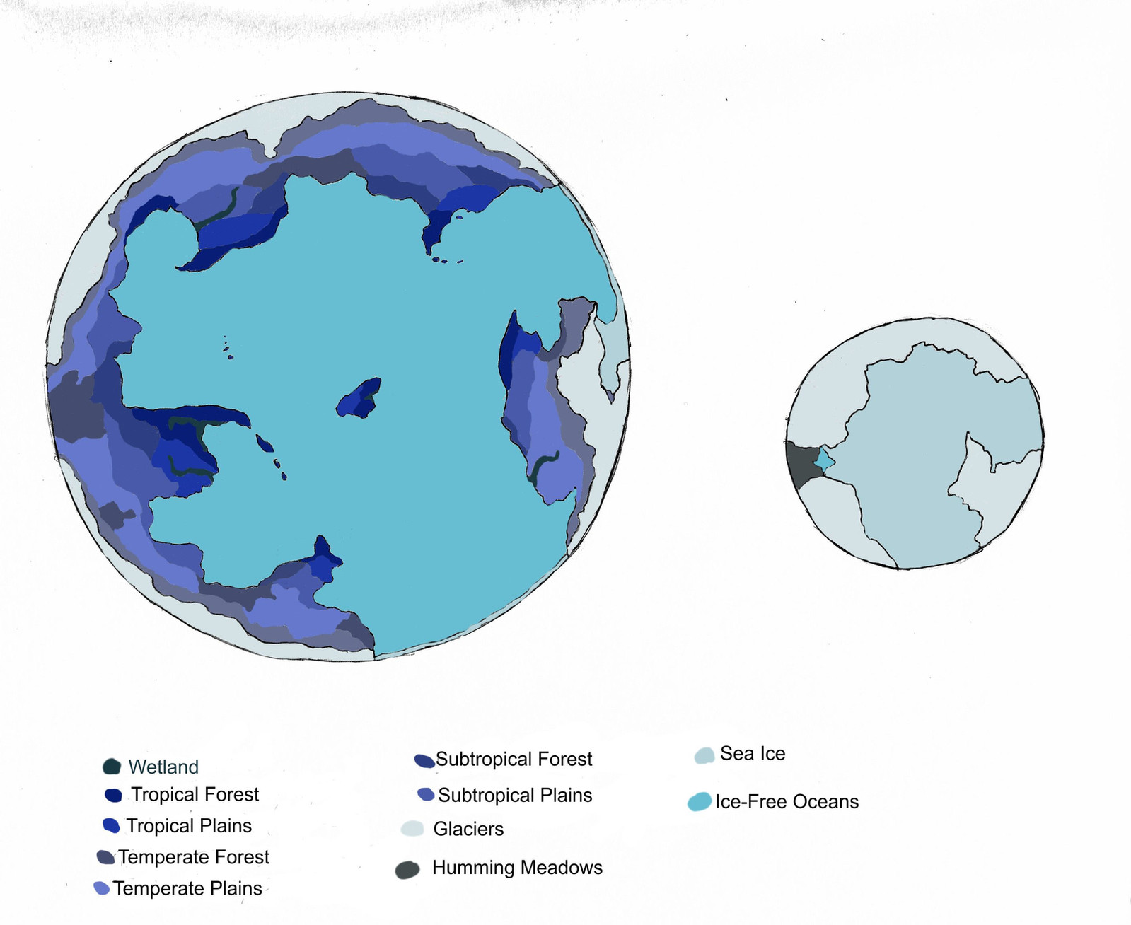
Ea has life! I don't have many details yet on what that life is actually like, but with the geographical, meteorological, and climatic data from the previous maps, I can at least give an idea of where it would be found. The concentration of life on land is given in various shades of red, which is actually a good approximation of what Ea looks like from space below the cloud cover, as red is the primary color of Ea's major photosynthetic organisms (far from impossible: consider Earth's rhodophytes ).
For a clearer measurement, it's quantified as the biomass - the total sum of living organisms existing in a given area, simply measured as kilograms of biomass per square meter. As comparison, the 0-1 range contains Earth's deserts, glaciers, polar or alpine tundra, and dry shrublands; the 1-10 range contains Earths steppes, savannas, and the Mediterranean scrub; the 10-30 range contains conifer and temperate forests; and the 30-50 range contains monsoon forests and rainforests. You might notice forests are not quite as extensive as on Earth. Compared to our planet, Ea is rather cold and dry. The main exceptions are the lush jungles of Ishkur and Oshun, on the Equator, and the "parataiga" of southern Inanna, Ea's smaller analogue of the forests of Canada and Siberia. Enlil, mountainous and located on the 30° S high-pressure belt, remains very dry, a sort of alien Australia.
Living matter is not remotely as abundant in the ocean as on land: when water becomes deep, light and oxygen can only be found at the top, and mineral nutrients at the bottom. A precious exception is given by upwelling , a flow of deep, nutrient-rich water toward lesser depths, "fertilizing" the upper layer of the ocean. Upwelling is largely due to Ekman's transport, a phenomenon in which, because of the Coriolis effect, water is pushed sideways by the wind. In the northern hemisphere, water is deflected to the right; in the southern, to the left. This means that when wind blows parallel to a coast - with land at its left in the north, and at its right in the south - the upper water is pushed away from the shore, thus drawing deep water up. On Earth, coastal upwelling feeds some of the largest fishing grounds in the world: Japan, California, Peru, the North Atlantic, West Africa, Indonesia. Upwelling is also produced by the divergence in the surface water caused - again, through Ekman's transport - in the convergence zones at the Equator and at 60° of latitude (see the meteorology map ). On Earth, there's not much ocean at 60° N, but upwelling at 60° S feeds the immense swarms of Antarctic krill. In general, oceanic life will be concentrated in the greenish bands that mark upwelling zones in this map.
Ea also has something much like coral reefs. They represent an exception - the deep upwelling waters are usually too cold for them. Of course, Ea's "corals" are somewhat more tolerant of cold. There are many kinds of reefs. The fringing reefs that grow close to the shore, mostly unrepresented on this map, common in our Red Sea. The platform reefs that form wherever the continental shelf rises high enough to gain access to sunlight, like those that grow in front of the Ishkur Jungle, fed by the abundant detritus dragged east by its many rivers. The huge barrier reefs that mark the rim of the continental shelf, like the Great Barrier Reef northeast of Australia, or the ones that cross the Yam Sea off Inanna's coast. And the small atolls that form around volcanic isles, which are later destroyed by erosion and become a shallow lagoon surrounded by the reef, such as the atolls of the Maldives in the Indian Ocean, and of the Hesperid Islands in the Abzu Ocean.
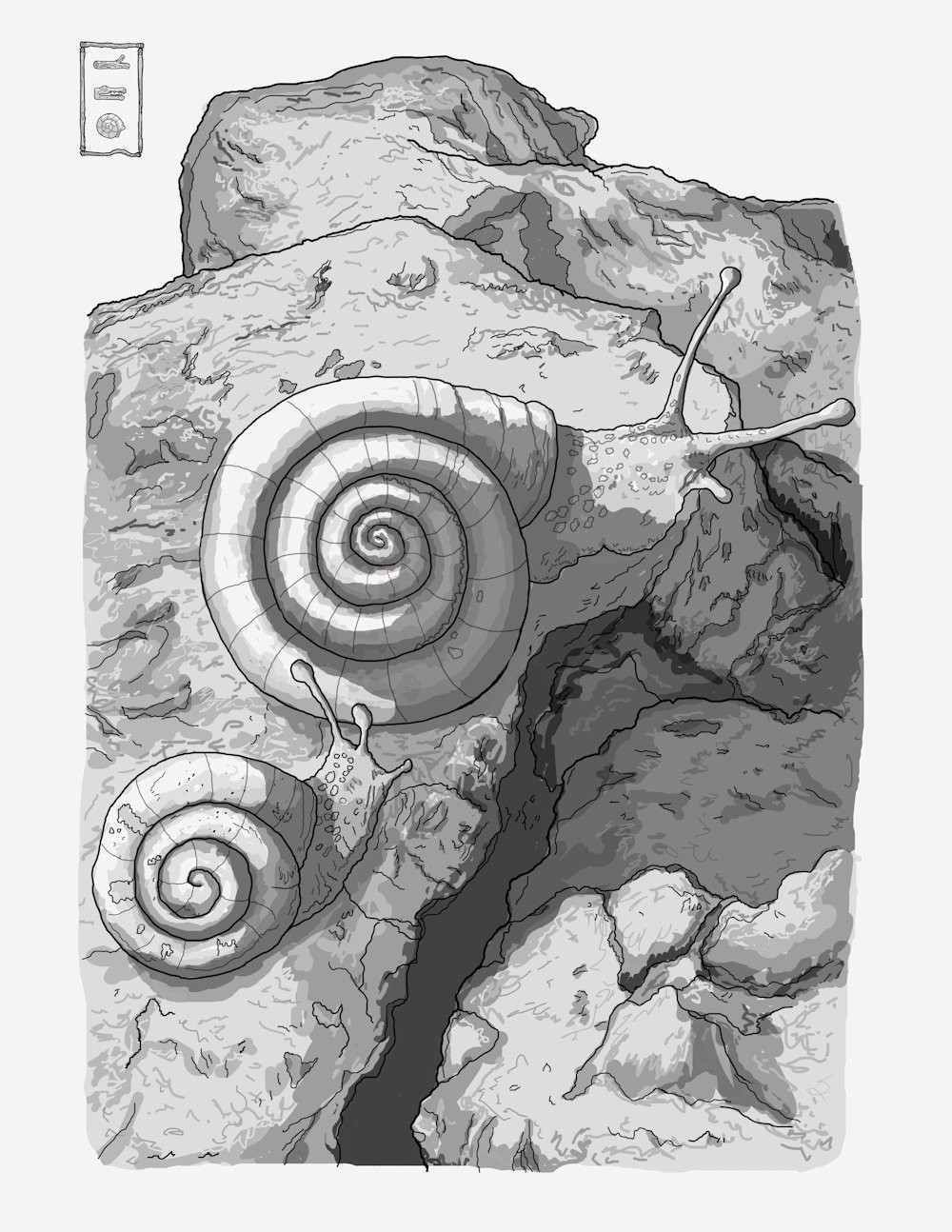
25 environments with interesting inhabitants, scattered all over Ea, are marked as well.
EDIT: now 27 (added the Nergal Lava Fjords and the Litanu Trenches).
EDIT 03-09-20: now 28 (added the Circum-Dagon Karst Brushland); tweaked a few symbols, added floating reefs.
Other works in the sequence:
- Introduction
- Tectonic plates
- Continents, oceans, and mountain ranges
- Prevalent winds and patterns of rain
- Climate zones and ocean currents
- Major toponyms
- Human presence
- UNSS Utnapishtim
- Earth in 2070