HOME | DD
 gmathur19 — USA Map

Published: 2008-01-04 16:52:00 +0000 UTC; Views: 2497; Favourites: 17; Downloads: 101
Redirect to original
Description
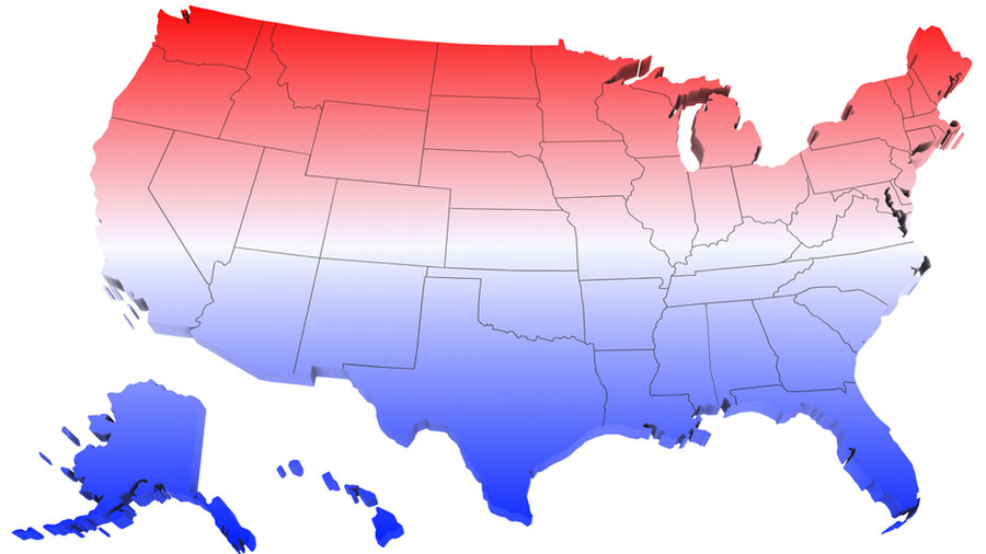
USA MapMade in Adobe Photoshop CS3
Time Taken 5 hrs
Related content


Comments: 15

Why in so many maps of the USA Canada's portrayed in white? Canada's southern parts of British Columbia, Alberta, Saskatchewan, and a little bit of Manitoba rarely get snow. Almost all the snow is in the territories
👍: 0 ⏩: 1

Cause it's not colored
Cause Canada isn't part of the USA
Like Mexico
👍: 0 ⏩: 0

Thank you! This helped with my late HW.... Looks nice bt- *see's missing "florida" and "tallahassee"* ..... oh well!
👍: 0 ⏩: 0


LOL you spelled Frankfort wrong. You spelled it like the hotdog. ")

👍: 0 ⏩: 1

you're missing florida's name and capital, aren't you?...
👍: 0 ⏩: 1

oooh..!! lol...thanks for pointing it out..!! thanks...
👍: 0 ⏩: 1


hey, another good one!
keep it up.
i want to try this map thing for once..
👍: 0 ⏩: 1
thanks...it's kindda simple...but requires patience... (Smile)")
👍: 0 ⏩: 1