HOME | DD
 jhubert — Urbis Map - Draft 2

Published: 2006-08-22 08:25:36 +0000 UTC; Views: 150; Favourites: 0; Downloads: 0
Redirect to original
Description
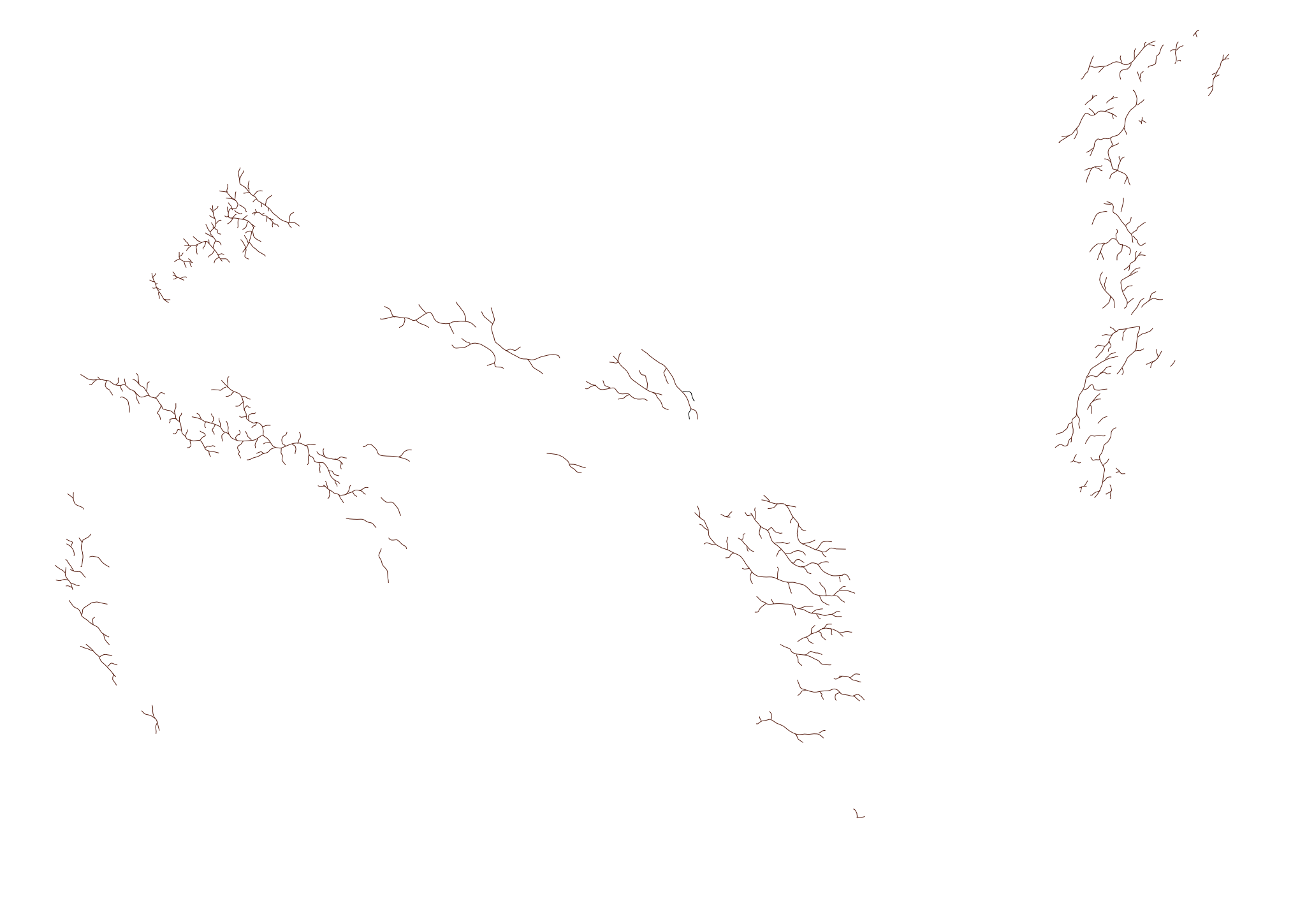
Continuing from the last map draft , here is a new version - this time, I've added basic vegetation.Again, advice and suggestions for improvement are highly welcome.
Related content


Comments: 1

Few things to wonder about when creating a map:
1. Astronomical
Is the world round or flat? is there day and night or is the sun just fixed in one spot in the sky?
2. Geological, how was this land formed?
Tectonic activity, plates, ridges, rift... or is this whole land artificial, man-made?
These two would have much effect on climatic zones (Tropical, Arctic, Desert, etc...) as well as natural resources, wich would determine the kind of life-forms and vegetation for each area.
In your map, I see one major continent randomly spotted by mountains.
The list I would expect is the shore, in the top left corner, to be more like big cliff. From the top of that mountain, to the depth of the ocean, very slim line of shallow water.
Rivers, when getting to the flat shore, spread to a large "Delta" which should be a very fertile spot for vegetation and animals to inhabit.
No mountain vegetation?
👍: 0 ⏩: 0