HOME | DD
 TitaniumTurt1e — Atlantis - Rough Topographic Map
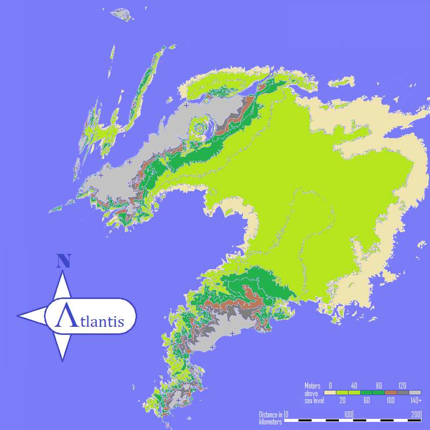
#map #mauritania #topography #richat #atlantis #sahara
Published: 2020-12-03 08:28:19 +0000 UTC; Views: 1696; Favourites: 16; Downloads: 2
Redirect to original
Description
This is a very rough topographical map based on the Richat Structure (Eye of the Sahara) theory of Atlantis, if we assume that sea level was roughly 400 meters higher than it is today. As I became interested in the theory I found it very frustrating that I could not find any realistic depictions of what the island may have looked like other than versions mostly based on much older ideas of Atlantis being in the middle of the Atlantic. This is based on speculation and mainly done purely out of curiosity.I basically stacked flood maps for every 10 meter rise in sea level starting at 370m up through 500m. The flatter white areas are above 500 meters (100 meters at the time). I started at 370m instead of 400m because the theory states that large amounts of land would have been totally washed away by the assumed tsunami. That simply seemed to be the best elevation to start when comparing higher and lower sea levels.
Obviously, the Richat Structure itself does not touch the ocean in this state, but there are a number of reasons for that. The story indicates that the city was actually joined to the ocean by a canal to the south, so it wouldn't actually meet, and when looking at the individual maps it doesn't seem as far because we don't have the smudging between elevations. We can see some of the structure would have still been below sea level, and a canal implies that the water level would have actually been higher within the city itself as it was more like a lake fed by the rivers and springs that were also mentioned in the original story.
You may still be able to see the "Mauritania" etched through the middle of the island as the flood maps place the name of the modern day country right through that area. I'm hoping to put together a cleaner, possibly simplified, version of this, but this is the initial map once I finished stacking all the layers. Over all, I'm proud of just getting a decent image since I basically had to convert a dozen screenshots into monochrome vector images and then back to PNGs that I could paste together in MS Paint because I am poor and can't afford nice software or a computer able to run it.
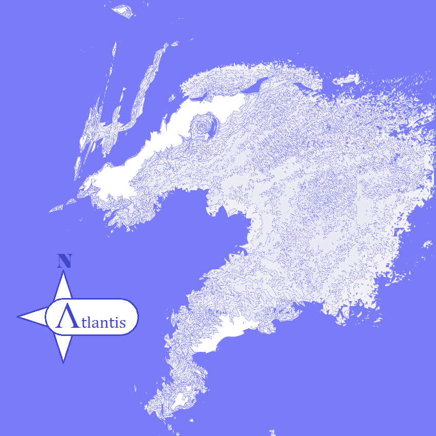
EDIT: Cleaned up text from original maps.