HOME | DD
 Caenwyr — Map of Aran and Ilan
Published: 2016-02-18 13:31:46 +0000 UTC; Views: 2844; Favourites: 53; Downloads: 0
Redirect to original
Description
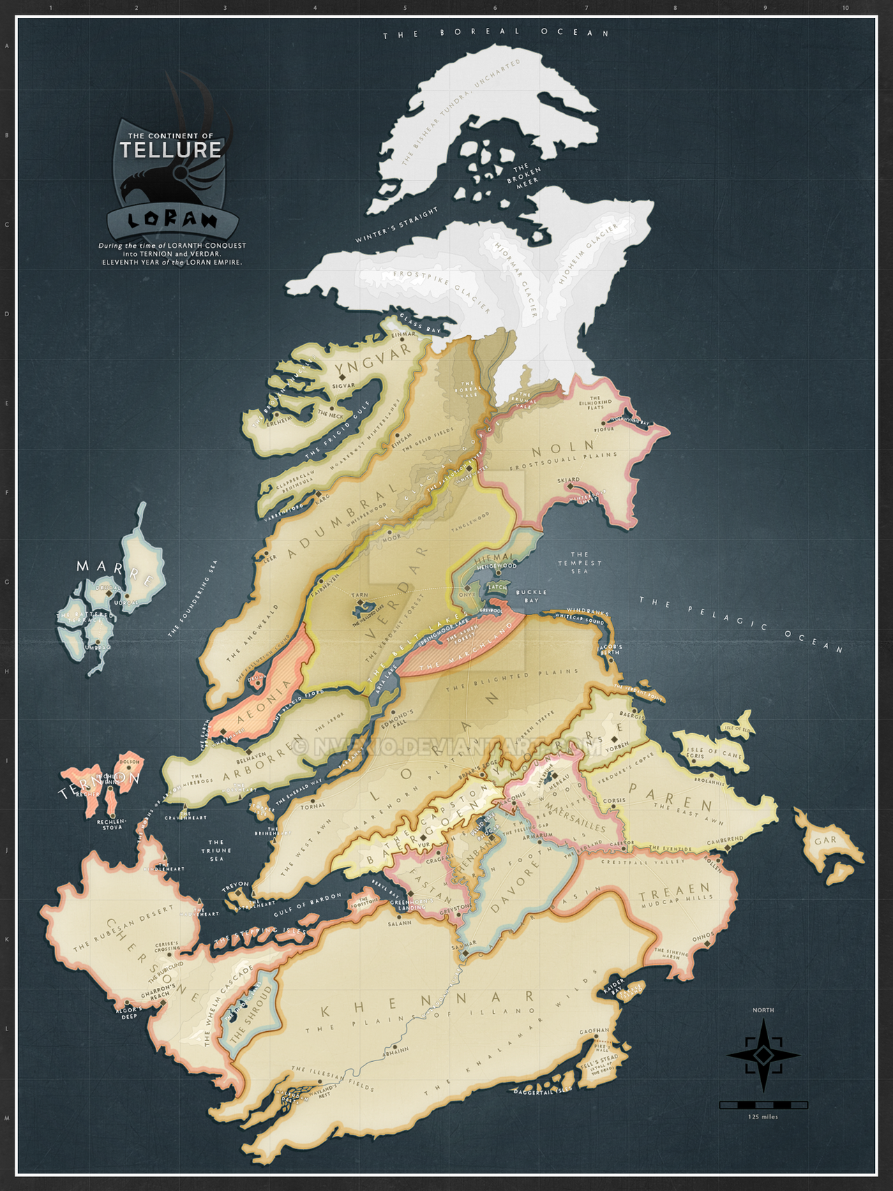
Yet another version of my novel map, this time done with a digital elevation model I created myself. The idea was to get a more realistic feel to the map, as if you're staring at an actual atlas page.Related content


Comments: 3


Mostly Photoshop really! The terrain was created in the form of a hand-drawn DEM file with 16 grey levels, which I then eroded and smoothed down in GeoControl (with innumerable tweaks in Wilbur) to 256 grey levels. Then I took it all back to Photoshop for all the remaining bits: colouring, labelling, the frame, the compass, ....
👍: 0 ⏩: 0