HOME | DD
 Kvetchman — Tamriel Base Map v.2
by-nc
Kvetchman — Tamriel Base Map v.2
by-nc
#elderscrolls #maps #tamriel
Published: 2019-08-26 07:51:12 +0000 UTC; Views: 4104; Favourites: 31; Downloads: 49
Redirect to original
Description
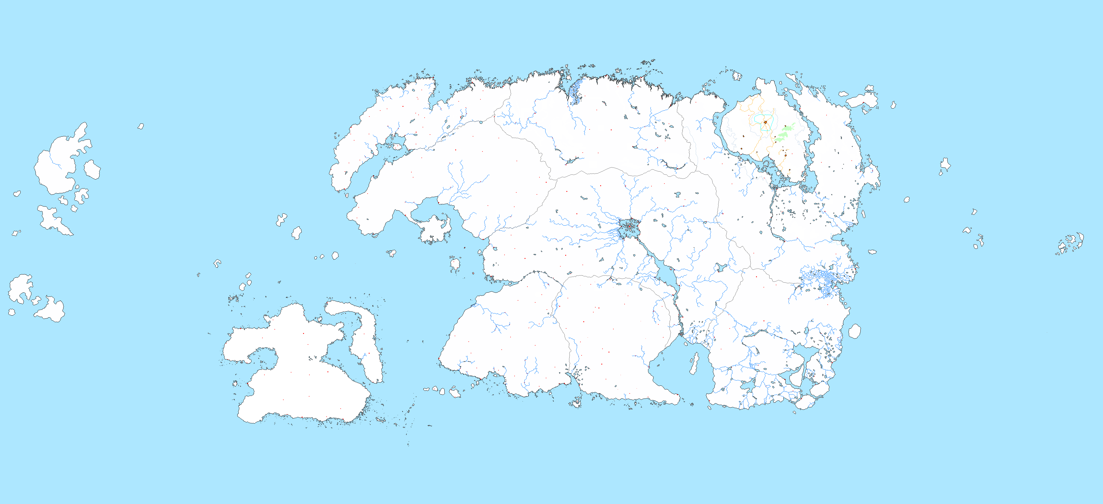
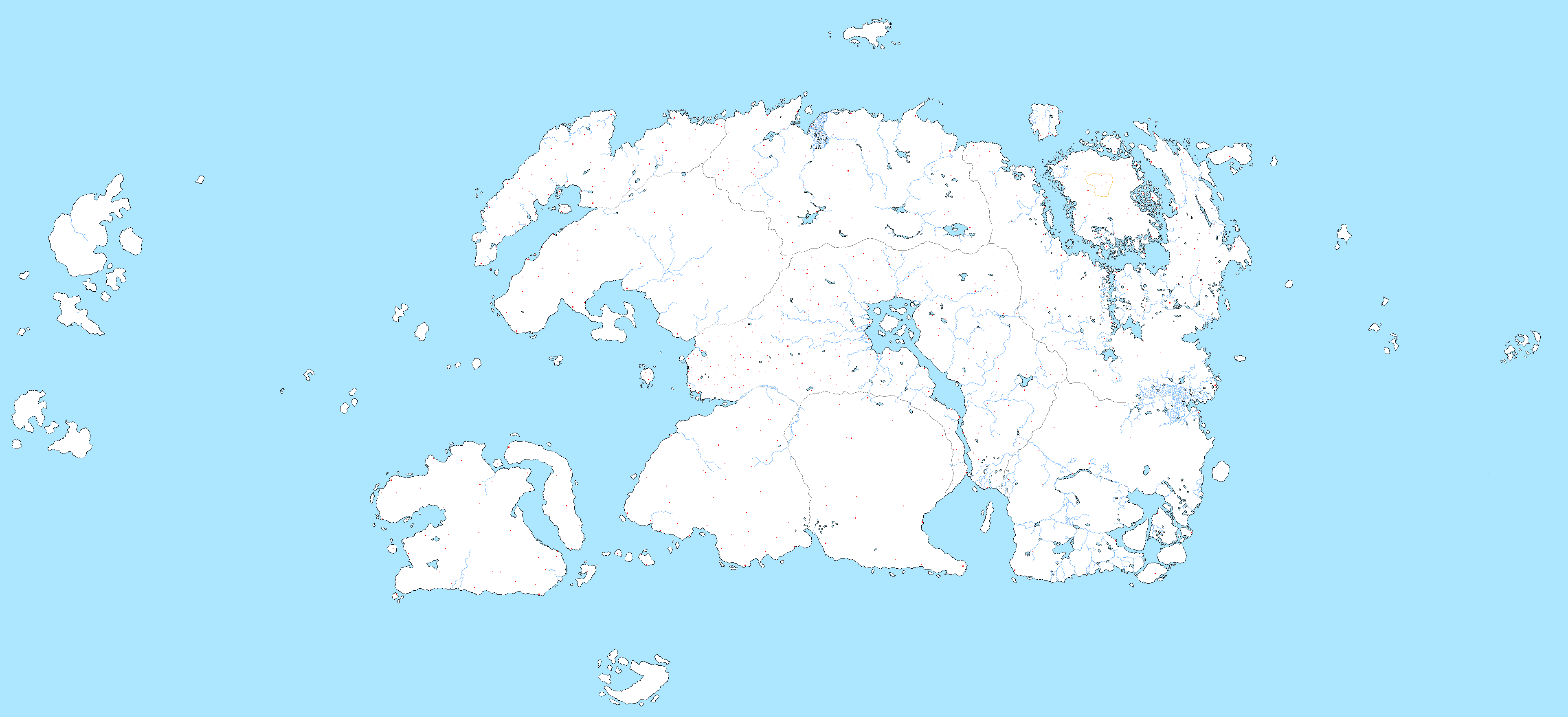
After finishing work on my first base map of Tamriel, I hadn't planned on any additional work just yet but very soon, something inside stirred as it often does and I abandoned another project to begin work on a new base map. This, too, was based on the gridmap from Project Tamriel, but this time more than twice the size of the original(!!!). Seriously, I didn't realise how massive the map would come out and tracing over the gridmap took A LONG time. Still, I think this version will last me for much longer than the previous one.This time around, all of the provinces have settlements marked on them thanks to an update to the project's gridmap. Just like with the original map, province borders are marked in dark gray and river borders are marked in lighter gray. The yellow border on Vvardenfell represents the Ghostfence. Unlike the previous iteration of the map, this one includes: the island of Roscrea to the north; Pyandonea, the home of the Maormer to the south; the various islands and archipelagos to the east; and Yokuda, the sunken continent from which the Redguards originate, to the east. As always, some of the rivers have been changed compared to the original gridmap so if you decide to do anything with this map, certain areas (once again, Skyrim) might look quite a bit different from the Project Tamriel maps.