HOME | DD
 matsudesign — Anterra Climate Map

#cartography #climate #dnd #fantasy #fantasymap #geography #illustrator #map #mapmaker #nationstates #roleplay #tabletop #topography #vector #weather #worldbuilding #mapmaking
Published: 2018-11-22 09:16:22 +0000 UTC; Views: 4903; Favourites: 73; Downloads: 0
Redirect to original
Description
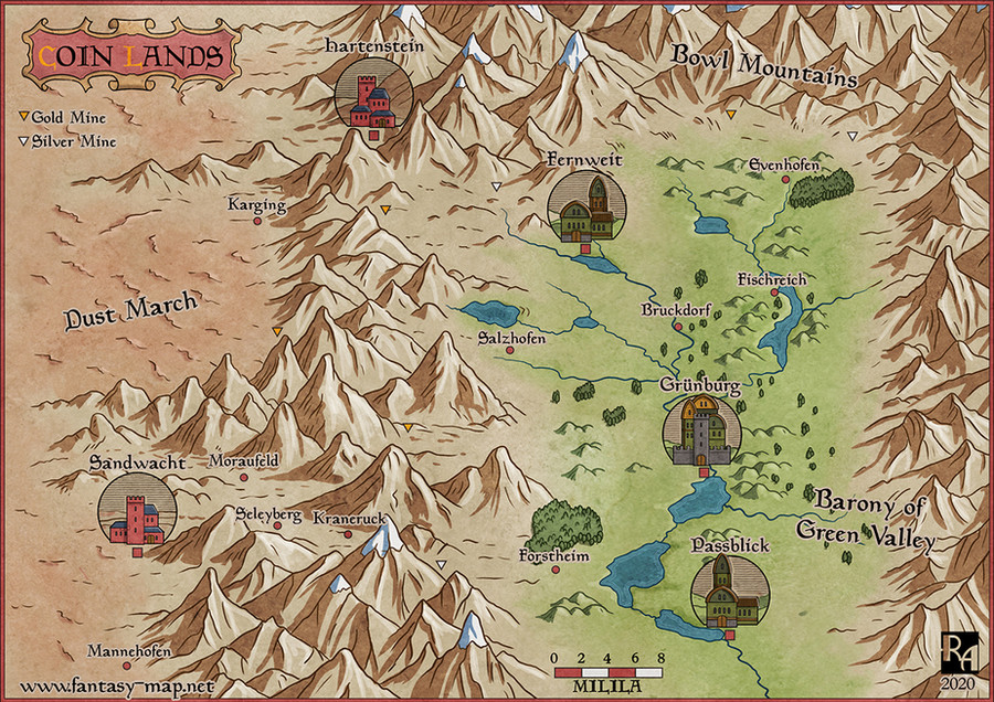
The climate map of Anterra made in Adobe Illustrator.Interested in the worldbuilding community this map was made for? Check out our Discord here: discord.gg/j88kJ4K
Related content


Comments: 4

👍: 0 ⏩: 0

"Mountain" is not a climate category. Different areas in a mountainous region experience different climates based on latitude, altitude, continentiality, aspect, etc. For instance, here is a climate map of the mountainous US state of Nevada. "Mountain" is typically used as a placeholder for "it varies a lot over short distances, so I'm not gonna go into detail."
👍: 1 ⏩: 1

The inclusion of "mountains" is more to inform the climates of the surrounding areas than be a climate category. This is a rough map and doesn't have the detail of Koppen climate classifications. If individual members want to do Koppen maps for their nations they may; this is more to be a general guide for newcomers to shape where they may want to settle.
👍: 1 ⏩: 1
Ok. BTW, I'm not for a strict adherence to the Koppen system—in some areas it's too specific (i.e. there are very few meaningful floristic and wildlife differences between monsoon and fully-humid variants of the continental and subarctic climate zone), and in some areas it's too broad (like Clewiston, Florida and Amherstburg, Ontario (!!!) being defined as having the same climate type, that is humid subtropical).
👍: 1 ⏩: 0