HOME | DD
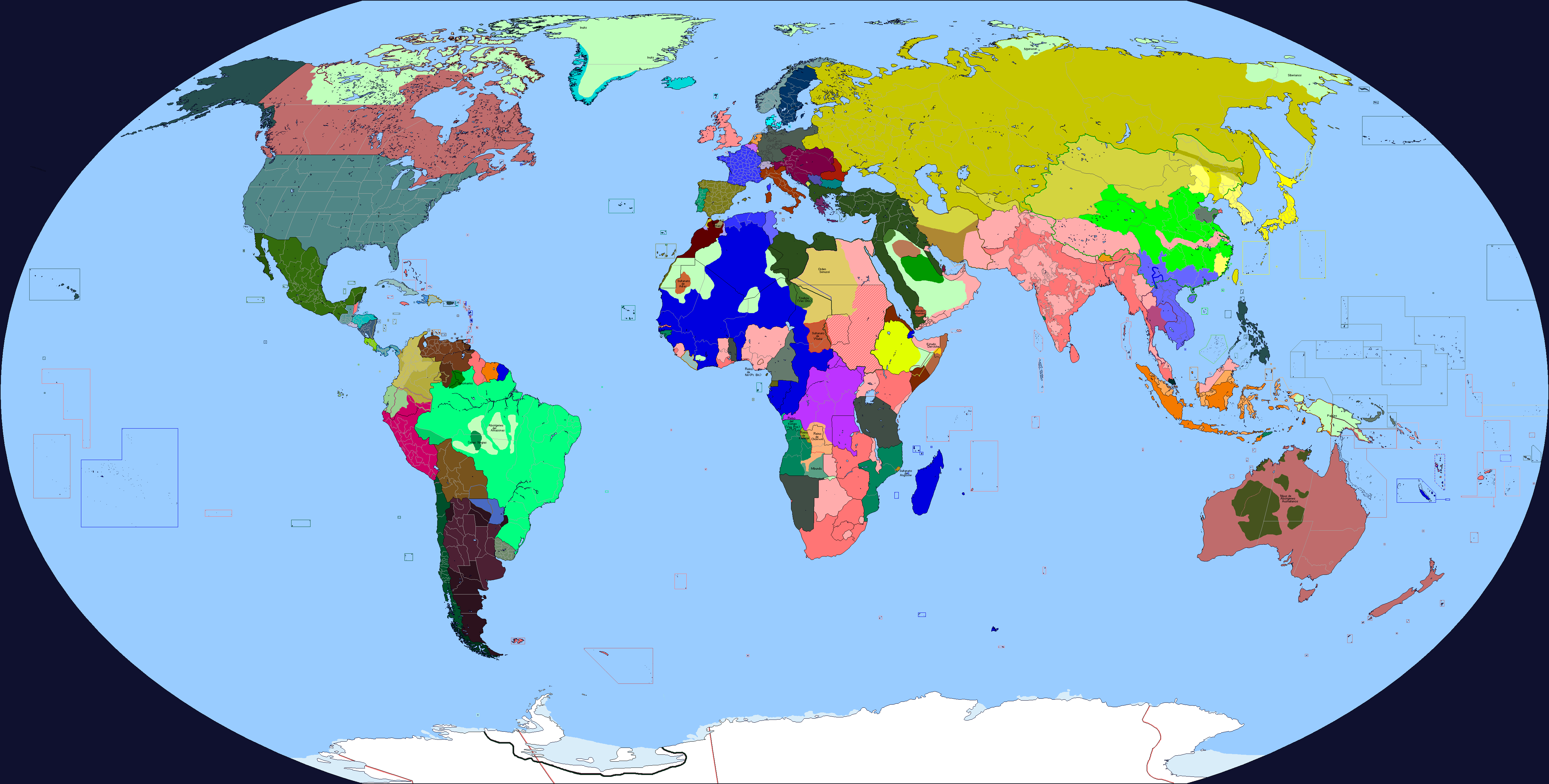
 northking1 — my ideal world map second (with rivers and ice)
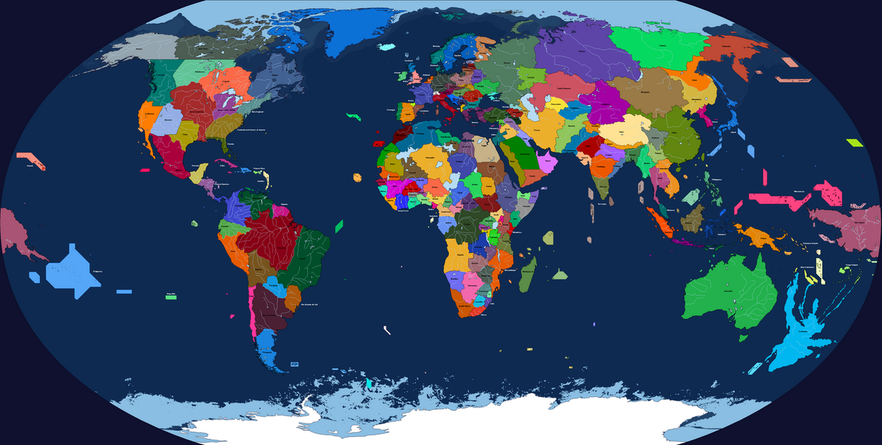
#africa #america #asia #australia #chad #china #england #europe #greatlakes #idealworld #map #mu #worldmap #greenafrica #zealandia #sawaiki
Published: 2020-08-16 19:33:34 +0000 UTC; Views: 3573; Favourites: 26; Downloads: 36
Redirect to original
Description
So this is the second projection of my first deviant. This map includes extensive river system and ice layers in the north and south poles. It has also dark blue color of oceans and seas, while lakes and rivers have light blue color.In this map, however, is included the continent of Zealandia. I did remove it from my first projection, because i dont like the way it looks. There are so many long islands, and it has two long peninsisulas. If i be able to find better version of Zealandia, I will add it to first map.
Oh, there is also shown territories of islands. That is all, enjoy my maps😁
P.S. the map is based on the original map of dinospain. Check him too)
Related content


Comments: 4

👍: 0 ⏩: 0

👍: 0 ⏩: 1

Your project is just in different dimension, im just first year student, and as you have described in one of your podcasts- childhish and ideal world imaginer. I am now on project that would culminate all my ideas about ideal world (but there i am not taking into account how wind directions will change). I added some changes from your map 👀 to be exact from East Asia such as enlarged Taiwan and additional islands of Japan. It will come soon, maybe, if i dedicate some more time. Thank you
👍: 0 ⏩: 1
👍: 0 ⏩: 0