HOME | DD
 SirJoshizzle — Hyrule Kingdom - Transport
Published: 2008-08-15 20:17:25 +0000 UTC; Views: 2578; Favourites: 12; Downloads: 116
Redirect to original
Description
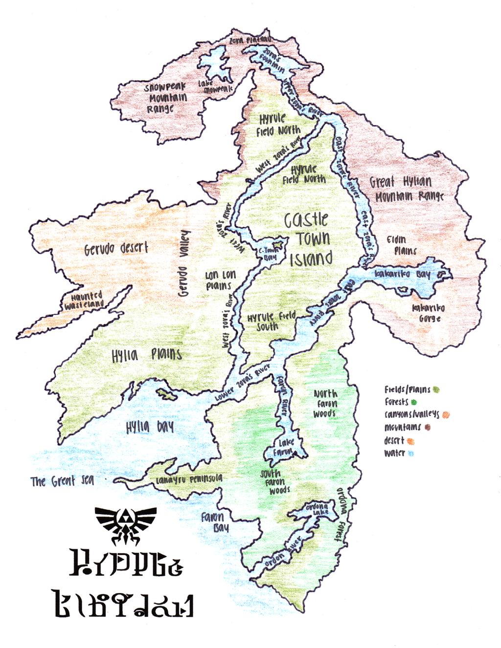
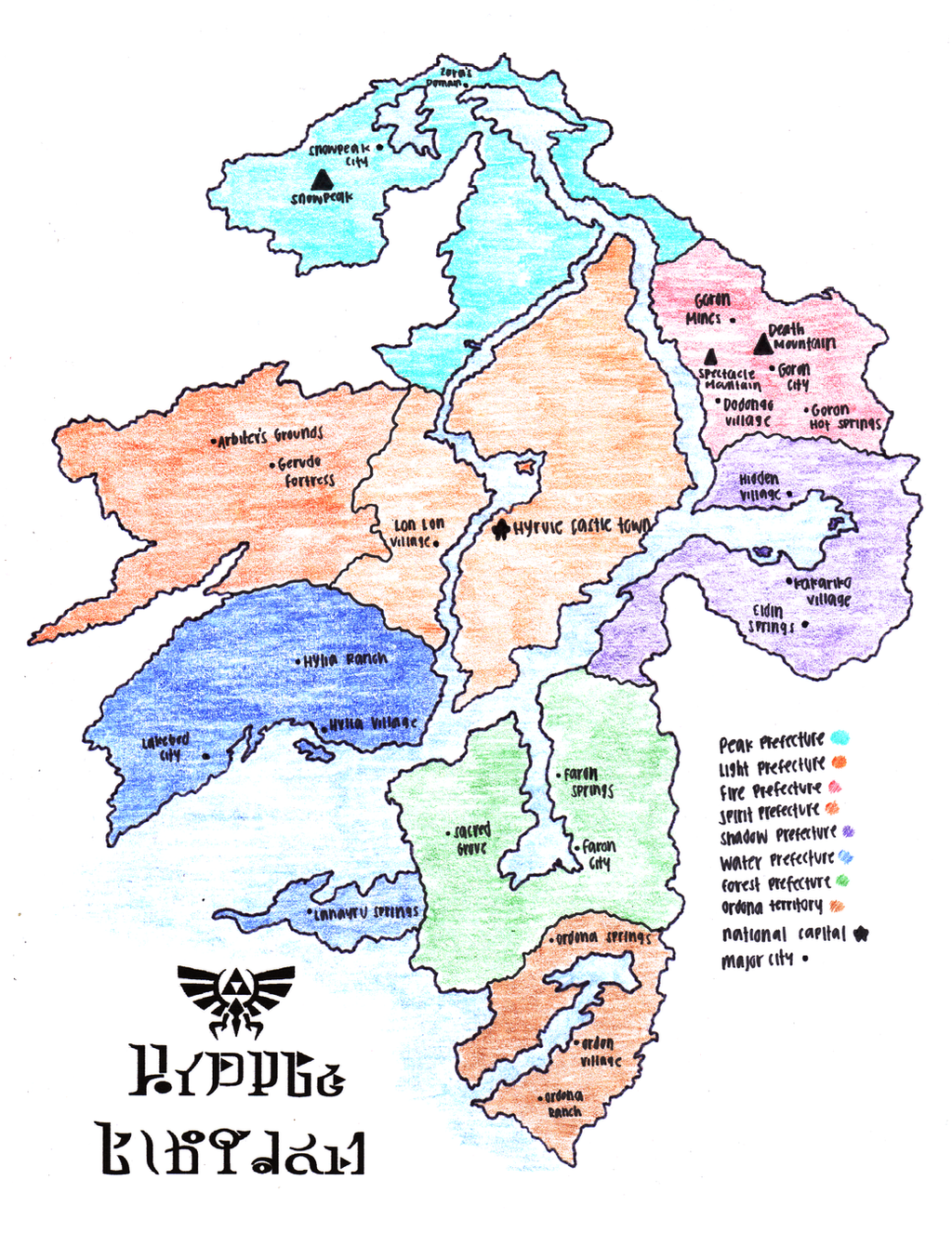
A concept map I created of the Hylian Kingdom, showing all the road and rail routes throughout Hyrule.This Hyrule takes after Hyrule as seen in Twilight Princess with some obvious original concepts. Compared to my older map of Hyrule [link] this one is much more massive and more vertical-oriented than horizonally.
Road and rail are the two major modes of transportation in Hyrule, and all routes pass through the capital, Hyrule Castle Town, in the center. All connect the major cities with the capital, then eventually branch off into neighboring countries.
Three major bridges are displayed on the map. By length, they are the Great Bridge of Hylia that spans Hylia Bay, the Bridge of Eldin spanning Kakariko Bay, and though unnamed, Castle Town Bay Bridge spanning Castle Town Bay.
Should I ever do another AU Zelda story, this will be the Hyrule used.
Hyrule Kingdom
Political map - [link]
Physical map - [link]
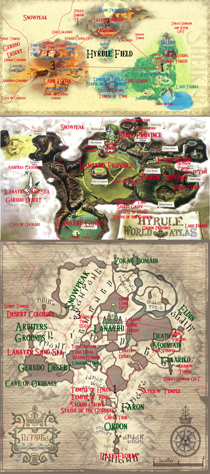
Regional map -
[link]
Enjoy Life and Smile.
Related content


Comments: 1

Great map, Josh.
One question...does Hyrule have a high-speed rail system like the Japanese Shinkansen?
👍: 0 ⏩: 0