HOME | DD
 procrastinating2much — General map of Northern Ireland

#cartography #ireland #maps #northernireland #unitedkingdom #mapsandflags
Published: 2020-05-27 13:37:43 +0000 UTC; Views: 5369; Favourites: 67; Downloads: 45
Redirect to original
Description
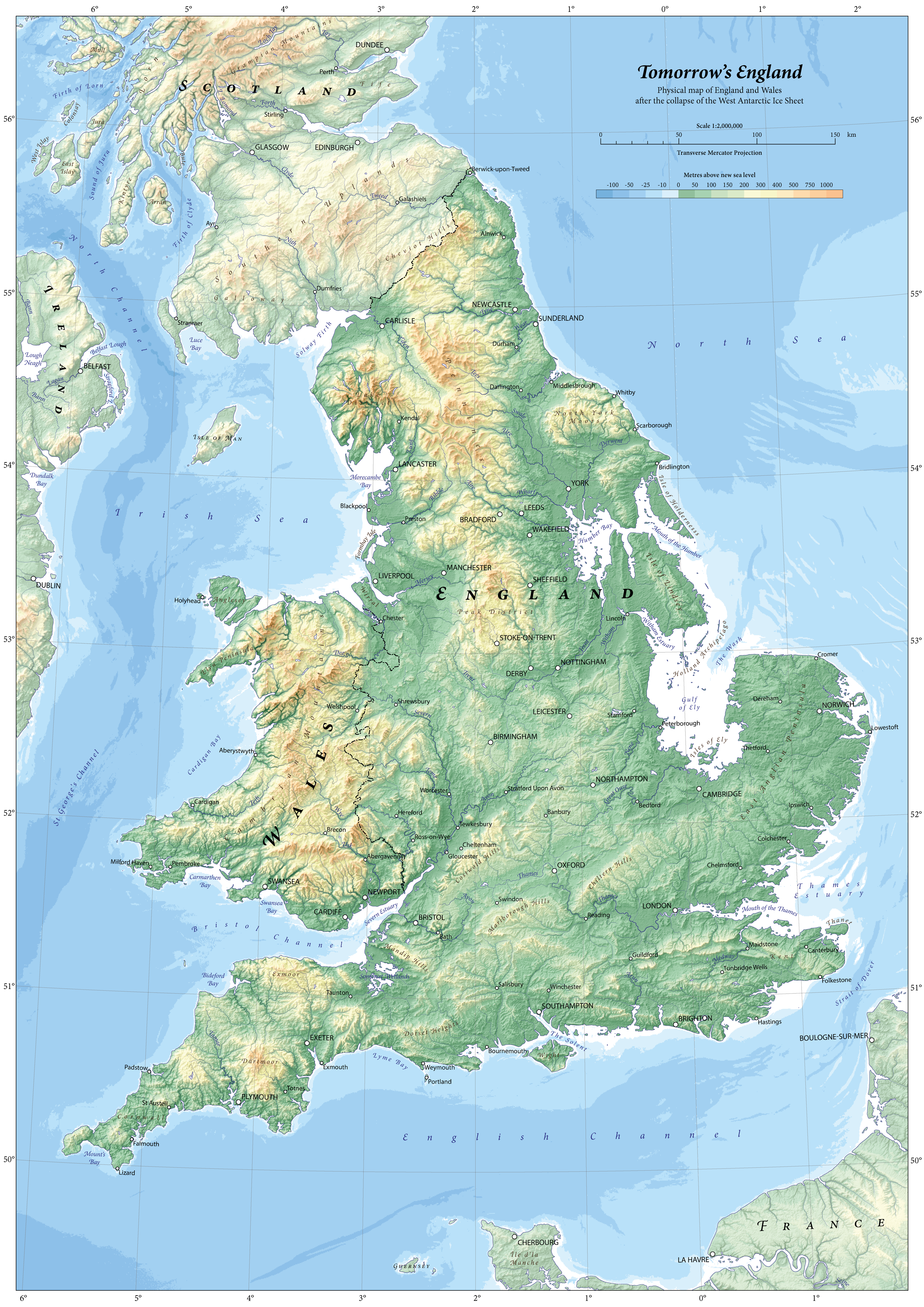
This map is a general map of the country of Northern Ireland, intended to be as politically neutral as possible. This map will show traditional counties, major roads, motorways, urban areas, physical features, and towns.
With this map, I aimed to fine-tune the style of physical cartography I have been developing. This can be seen in my maps of 1789 France, Scotland, and Ireland, and to a lesser extent, my maps of England and Wales (both modern and futuristic), and Domesday England. I aimed to improve readability, typography, visual balance, and colours.
Rivers and lakes from…
EU-Hydro Public Beta, © European Union, Copernicus Land Monitoring Service 2019, European Environment Agency (EEA), available from land.copernicus.eu/imagery-in-… [Accessed December 2019]
Major rivers are tapered using width profiles, while minor rivers are uniform.
Urban areas from…
Northern Ireland Statistics and Research Agency, 2017. Urban - Rural Classification. [Online], available from www.nisra.gov.uk/support/geogr…. [Accessed May 2020]
A locality’s urban area is shown only if the locality’s population exceeds 50,000.
Digital elevation model from…
EU-DEM v1.1, © European Union, Copernicus Land Monitoring Service 2019, European Environment Agency (EEA), available from land.copernicus.eu/imagery-in-… [Accessed December 2019]
Bathymetric data from…
The GEBCO Grid, GEBCO Compilation Group (2019) GEBCO 2019 Grid (doi:10.5285/836f016a-33be-6ddc-e053-6c86abc0788e), available from www.gebco.net/. [Accessed March 2020]
Northern Irish localities’ populations from…
Northern Ireland Statistics and Research Agency, 2011. Census 2011 Key Statistics: Usual Resident Population. [Online], available from www.ninis2.nisra.gov.uk/public…. [Accessed April 2020]
Irish localities’ populations from…
Central Statistics Office, 2016. E2016: Population and Actual and Percentage Change 2011 to 2016 by Alphabetical List of Towns, Census Year and Statistic. [Online], available from statbank.cso.ie/px/pxeirestat/…. [Accessed May 2020]
Scottish localities’ populations from…
National Records of Scotland, 2016. Population Estimates for Settlements and Localities in Scotland, Mid-2016. [Online], available from www.nrscotland.gov.uk/statisti…. [Accessed April 2020]
Manx localities’ populations from…
Isle of Man Government, 2017. 2016 Isle of Man Census Report. [Online], available from www.gov.im/media/1355784/2016-…. [Accessed April 2020]
Motorways and principal roads from…
DIVA-GIS: Lizard Tech, Inc., the University of California, 1995-1998, available from www.diva-gis.org/gdata [Accessed April 2020]
Ordnance Survey Ireland, 2019, Roads , available from data-osi.opendata.arcgis.com/d…. [Accessed April 2020]
Generally, I have attempted to label all localities with a population greater than 1,000. However, where labels overlap, I have liberally excluded localities with a lower population to prevent labels being so close to each other that the readability of more important localities’ labels is hindered.
Shaded relief created in Blender, merged with hypsometric tint in Photoshop, and cut out in Illustrator.
Where a boundary line overlaps with river or lake, it is offset by 5mm to improve readability.
All summit heights are rounded to the nearest multiple of 5.
Colours…
I designed the colour ramp to be natural to reflect the colours of the Northern Irish landscape, and bright enough that text can be read atop it.
Fonts…
· Serif (used on everything except city names): Georgia Pro
· Sans-serif (used exclusively on city names): Lato
Related content


Comments: 11

👍: 0 ⏩: 1
👍: 0 ⏩: 1

👍: 0 ⏩: 1
👍: 0 ⏩: 1
ah thank you! That’s genuinely really helpful, i’ll be sure to give it a shot
 (Smile)")
👍: 0 ⏩: 0

👍: 0 ⏩: 1

👍: 0 ⏩: 1
👍: 0 ⏩: 0